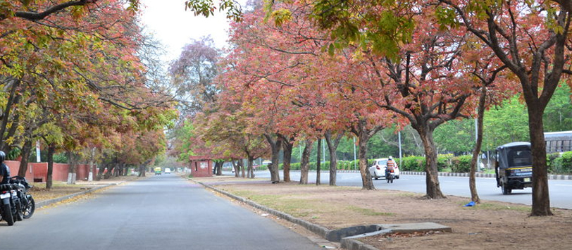
Geography and Climate
CHANDIGARH is bounded on the west and north by Punjab and south and east by HARYANA. Total area of Chandigarh is 114 sq.km. It is located in latitude 76.420 to 76.510 north longitude 30.400 to 30.460 East. CHANDIGARH is located near the foothills of the Shivalik range of the Himalayas in Northwest India. It covers an area of approximately 44 sq mi or 114 km². and shares its borders with the states of HARYANA in the east and Punjab in the north, west and south. The exact cartographic co-ordinates of CHANDIGARH are 30.74°N 76.79°E. It has an average elevation of 321 metres (1053 ft). The surrounding districts are of Ambala and Panchkula in Haryana and Mohali, Patiala and Ropar in Punjab. The boundary of the state of Himachal Pradesh is not too far from its north. CHANDIGARH has a sub-tropical continental monsoon climate characterized by a seasonal rhythm: hot summers, slightly cold winters, unreliable rainfall and great variation in temperature (-1 °C to 41.2 °C). In winter, frost sometimes occurs during December and January. The average annual rainfall is 1110.7 mm. The city also receives occasional winter rains from the west.


